

Getting around.
Commuter rail from three stations, fare-free local buses, and the roads that connect Brockton to Boston, Providence, and the Cape.

Three stations on the Fall River/New Bedford line
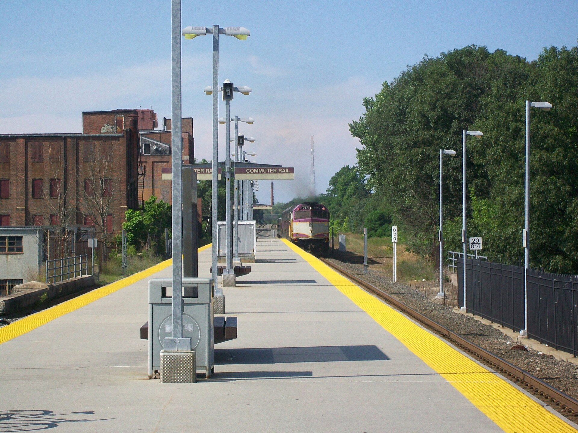
Brockton is one of the better-connected cities on the South Shore: the MBTA’s Fall River/New Bedford line — the line most people still call the Middleboro line, renamed when South Coast Rail service began in 2025 — stops at three stations inside the city. Montello sits on the north side near the Stoughton line, Brockton is the downtown station beside the BAT transit center, and Campello serves the city’s southeastern neighborhoods. Inbound trains reach South Station in roughly 40 to 50 minutes, and the line also connects Brockton directly to Bridgewater, East Taunton, and — a recent change — Fall River and New Bedford, which matters if family, work, or a second commute reaches the South Coast. Not every train stops at every Brockton station and weekend service runs on a reduced schedule, sometimes with bus substitutions, so read the current timetable rather than assuming a frequency.
Station parking and fares
All three stations have commuter parking, and Brockton station shares a garage and lots with the BAT Centre downtown — handy if you drive to the train. Parking is paid by the day through the MBTA’s parking system, and fares depend on the zone: Brockton’s stations sit in zones 3 and 4, with monthly passes that also cover inner-harbor ferry and subway zones. If you plan to walk to the station instead, treat the walk as part of your housing decision — a house half a mile from Campello station and a house three miles from it are different lives in February. Check the MBTA’s station pages for current parking rates and accessibility details before you rely on either.
BAT: the city’s own bus system
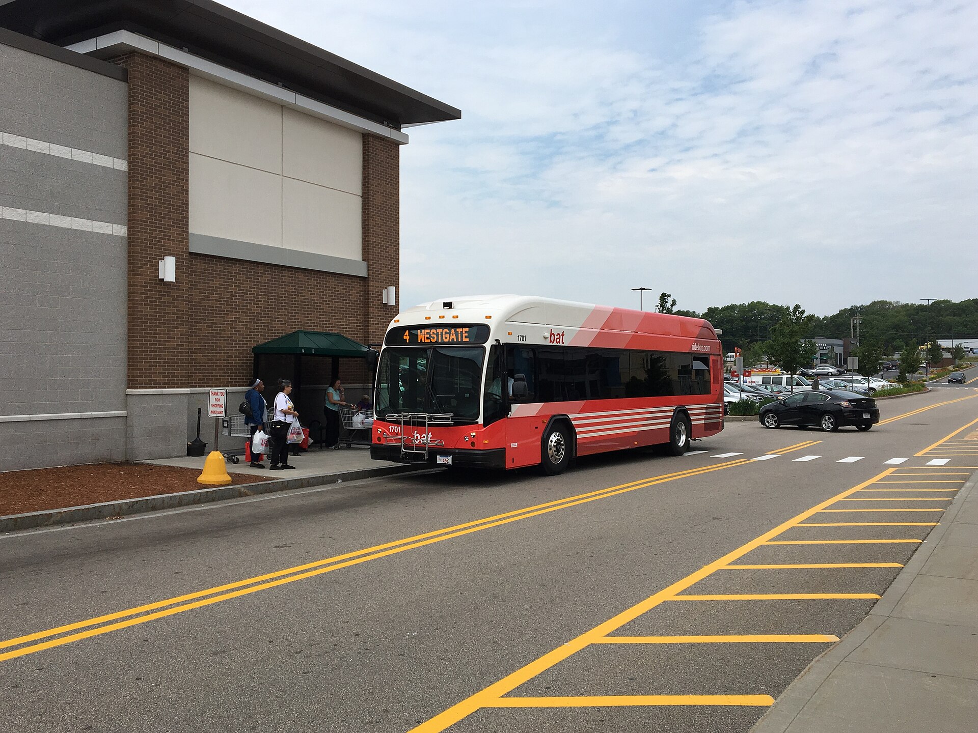
The Brockton Area Transit Authority (BAT) runs the local network, and its buses are fare-free — a genuine cost-of-living perk that most cities this size cannot match. Routes fan out from the BAT Intermodal Transportation Centre at 155 Court Street, adjacent to the Brockton commuter rail station, in a “pulse” pattern: every route sweeps back into downtown, so one seat takes you across town with a free one-hour transfer. Ten Brockton routes cover the main corridors — Montello Street, North Main Street, Belmont Street to the VA hospital, Centre Street past the hospital, Westgate and its mall, Massasoit Community College, and the Pearl Street and South Plaza corridors — and service runs seven days a week.
Regional connections and on-demand rides
BAT reaches beyond the city line too: Route 12 runs to the MBTA’s Ashmont station on the Red Line, which is the faster path to downtown Boston for some riders, and Route 14 serves Stoughton and its commuter rail station. Newer additions fill gaps the fixed routes leave — BAT Flex offers app-based, door-to-door rides in nearby communities, and an after-hours program subsidizes late-night rides for second- and third-shift workers. For riders with disabilities or seniors who cannot use fixed-route buses, DIAL-A-BAT provides paratransit across the service area, including medical trips into Boston. If you will not own a car, or want to own one fewer, map your daily trip against these routes before choosing a house.
Driving: the big roads
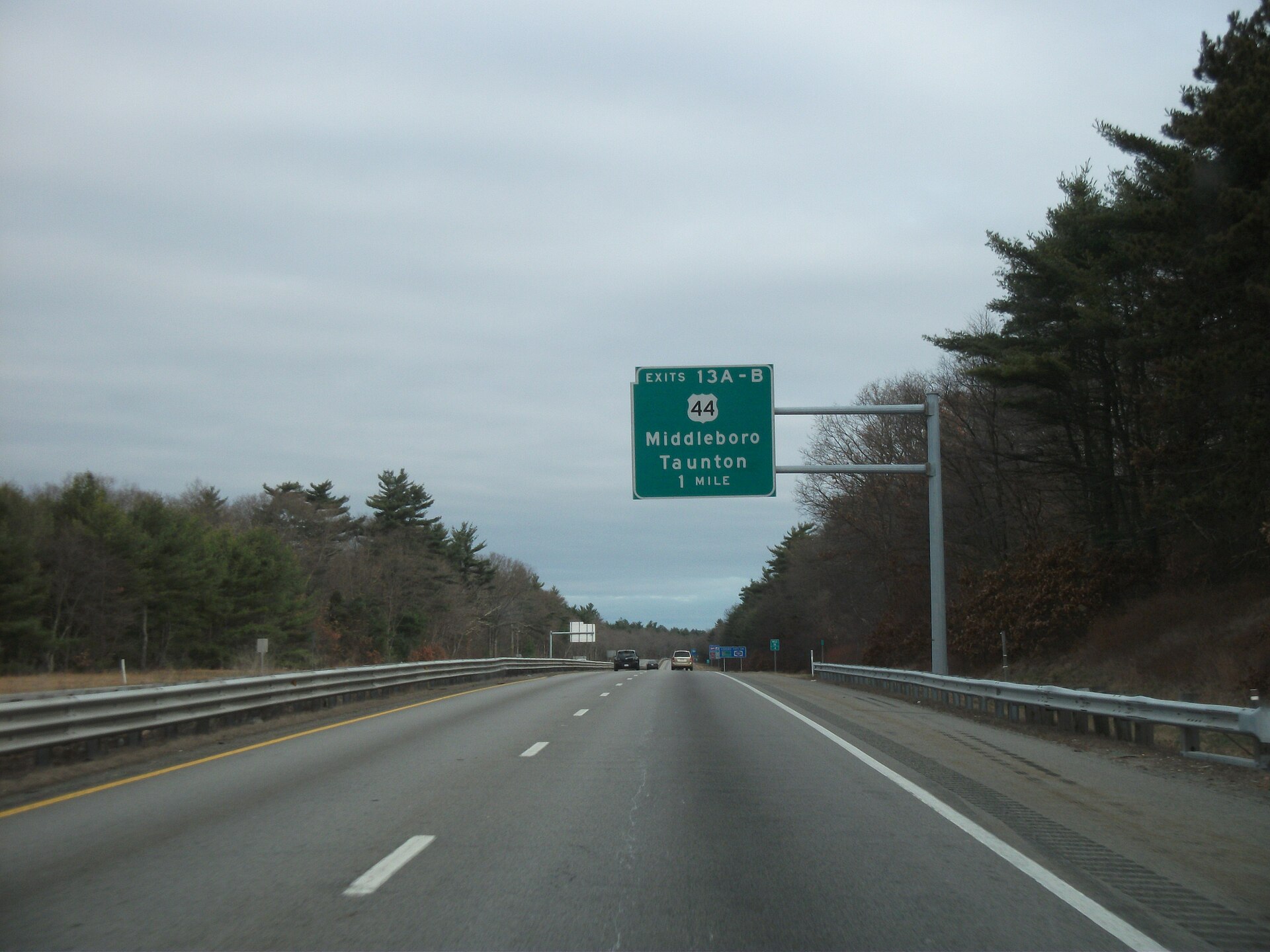
Route 24 is the region’s workhorse, skirting Brockton’s eastern side with interchanges that put downtown Boston about 30 to 40 minutes away in normal traffic — longer at rush hour — and the Cape about an hour in summer. Route 28 (Belmont Street) and Route 123 (Belmont Avenue) are the older surface arteries that cross the city, lined with the commercial strips and three-deckers that define many neighborhoods, while Route 37 and Route 27 tie Brockton to Stoughton, Avon, and the towns to the south. Route 24 itself is toll-free, but driving into Boston means tunnel tolls, and gas and insurance both run above suburban averages in urban Plymouth County. Test your actual commute at the hour you would really drive it — the map distance and the Route 24 reality can differ by a lot.
Snow emergencies and street parking
Winter changes the parking picture. When the city declares a snow emergency, parking is banned on posted arteries so plows can work, and cars parked in violation can be ticketed or towed; the declaration arrives through city alerts, local media, and the city’s notification system, not the weather forecast. Many older Brockton homes have driveways or garages, but denser streets near downtown and Campello rely on on-street parking, which shrinks fast in a storm. If you are buying a house where street parking is the norm, ask how the block behaves during bans and where neighbors actually leave their cars.
Getting to the airports
Logan Airport is roughly 25 miles north via Route 24 and the expressways — 35 to 60 minutes depending on traffic — and rideshare or a car service is the usual airport run. Two alternatives are worth knowing: T.F. Green Airport in Warwick, Rhode Island, sits about 45 minutes southwest and often has cheaper fares on the same airlines, and South Station connects commuter rail to Amtrak and intercity buses for trips up and down the Northeast corridor. For frequent flyers, living near a commuter rail station matters as much for reaching South Station as for the Boston commute.
Walking and biking
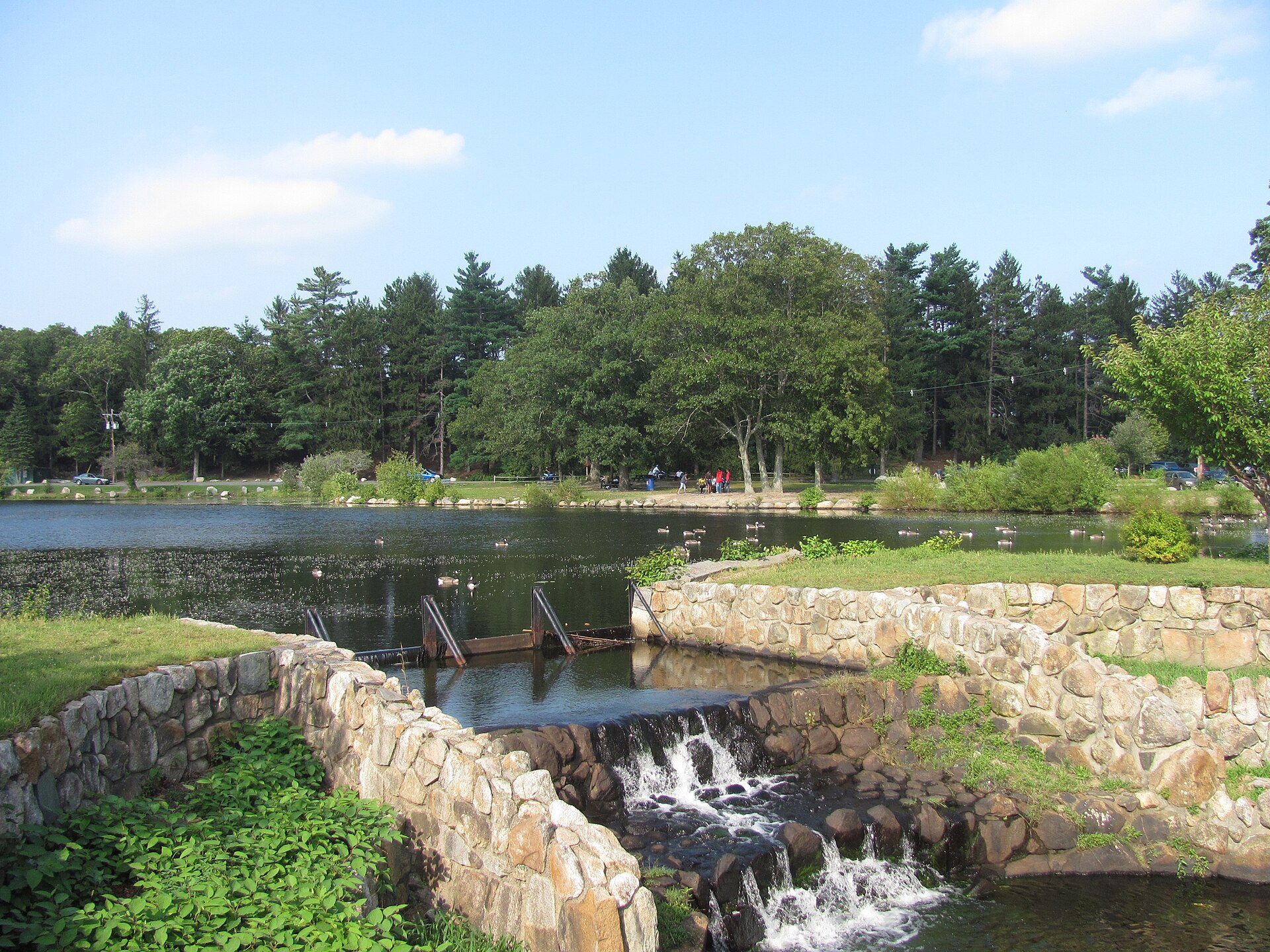
Brockton’s older neighborhoods were built on a grid with sidewalks, so everyday errands — a coffee, a pharmacy, the branch library — are walkable in much of the city, and the D.W. Field Park roads double as one of the area’s pleasantest walking and cycling loops when traffic is restricted. Biking to the commuter rail stations is practical, and bicycles are allowed on all Fall River/New Bedford line trains. The honest caveats: winter maintenance of sidewalks varies by street, some arterial crossings are busy, and the hilliest stretches are on the west side. Walk the block yourself at the hour you would actually be out in it.
What it means for your house search
Transportation should be scored per house, not per city. Two Brockton homes can sit on opposite sides of the “which station, which bus route, which Route 24 interchange” question, and the difference shows up every single weekday. Before you offer, check the walking distance to your station or bus stop, confirm parking at the station if you will drive, and drive the commute at rush hour once. KC walks buyers through exactly this — matching the house to the commute rather than the other way around — so bring your daily route to the conversation and it becomes part of the search.
He was amazing very patient and knowledgeable. The home buying process can be stressful having a reliable and dedicated one like K.C is what you need You won't be disappointed!
Official sources
General information only. Verify details with official sources before making decisions.